Tuesday, July 31, 2012

Venezuela Joins Mercosur, Paraguay Suspended

Map of intergovernmental organizations in South America: Mercosur, the Andean Community, and UNASUR (Venezuela and Paraguy indicated)
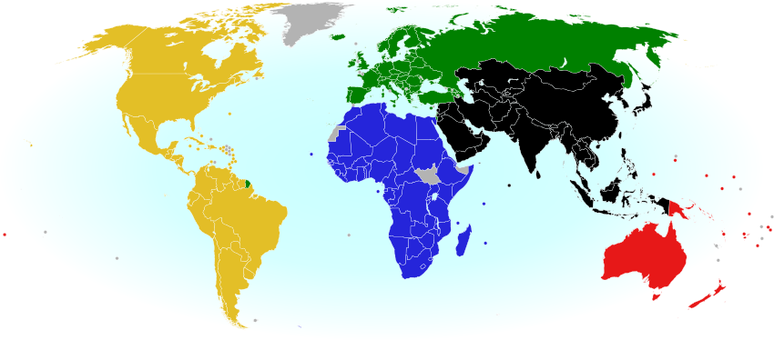
South America's intergovernmental organizations: Mercosur in green, the Andean Community (CAN) in (orange), and remaining members of UNASUR in blue (claimed territorial extents). Map by Evan Centanni, based on this map by Wikimedia user Luan.
After over six years of waiting, Venezuela today officially joined Mercosur (the "Southern Common Market"), one of South America's two main trade blocs.

The country was previously part of the continent's other major bloc, the Andean Community (CAN), but left that organization last year in anticipation of the switch to Mercosur (see Venezuela Leaves Andean Community).

By the time the Venezuela left CAN last year, its application had finally been approved by all Mercosur member states except for Paraguay; but despite support from that country's president, an opposition party in its congress continued to block Venezuela's entry into the trade organization.

Thursday, July 26, 2012

London 2012: Which Countries Are (and Aren't) in the Olympics?

This is an older version of our Parade of Nations article. Click here to see the newest edition!

The 2012 Summer Olympics in London begin tomorrow (July 27), and it wouldn't be an Olympic opening ceremony without the Parade of Nations. But how many countries are there in the games, and is everyone included? Read on for an exclusive guide to the roster of Olympic Nations....

World map showing the five continental associations of National Olympic Committees, including all nations eligible for the Olympic games
The five continental associations representing the world's Olympic Nations. Gold: Pan-American Sports Organization; Green: European Olympic Committees; Black: Olympic Council of Asia; Red: Oceania National Olympic Committees; Blue: Association of National Olympic Committees of Africa; Gray: non-member country or territory. Map by Evan Centanni, modified from public domain wiki map (source), and modeled after this Wikipedia map.

Wednesday, July 11, 2012

Syrian Uprising: Map Update 5

There are newer versions of this map available. To see them, view all Syria updates.

Political Geography Now presents an updated map of territorial division in Syria, where escalating violence is now referred to by the U.N. as a full-scale civil war. Read on for a rundown of recent events.
Map of rebel control in Syria's Civil War, updated for July 2012
Activity by rebel groups in Syria, marking areas of armed conflict as well as towns and cities held. Map by Evan Centanni, starting from this blank map by German Wikipedia user NordNordWest. License: CC BY-SA